

The geography of Türkiye
Turkey: A Land Bridging Continents and Climates
East Meets West: Straddling the border between Western Asia and Southeastern Europe, Turkey's geographical position has placed it at the crossroads of civilizations throughout history. Anatolia, Asia's Anatolian peninsula, makes up the bulk of the country, while Eastern Thrace in Europe contributes the remaining landmass. This unique location fosters a blend of cultural influences, evident in everything from architecture to cuisine.
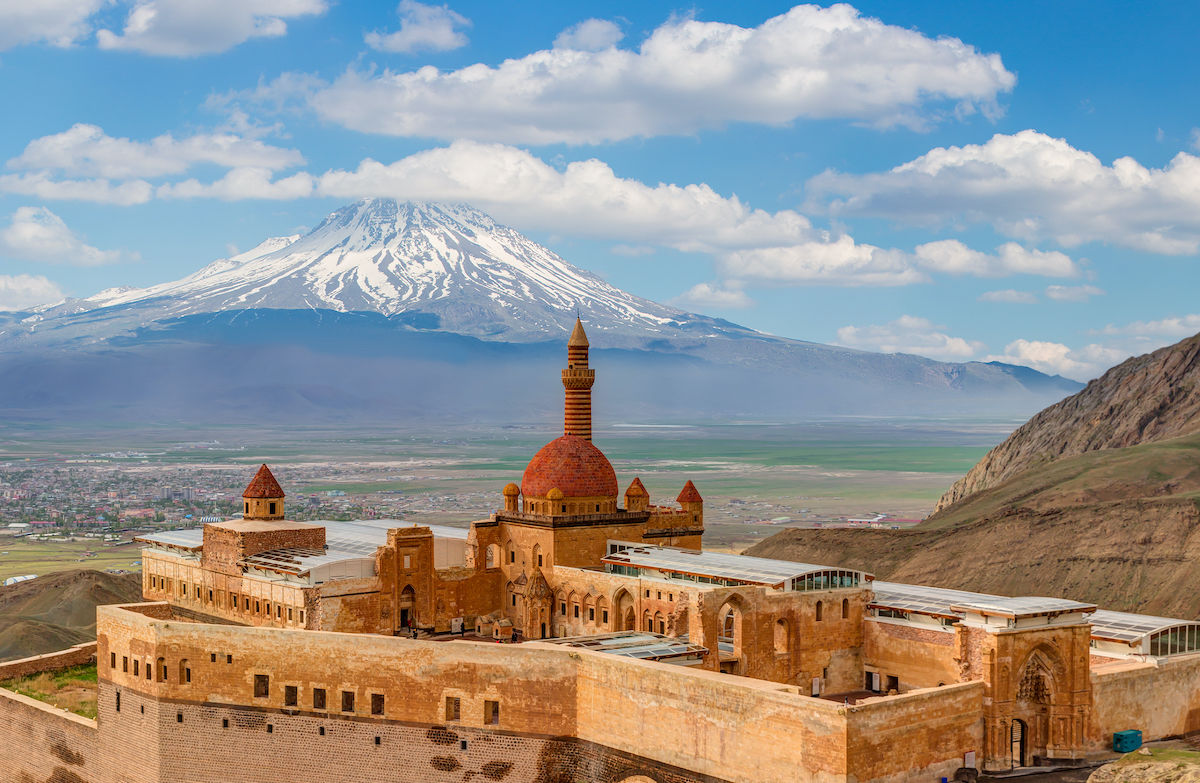
Dramatic Landscapes: Turkey's diverse terrain is as captivating as its history. The Aegean, Black, and Mediterranean Seas carve out a long, picturesque coastline. Mountain ranges like the mighty Taurus Mountains pierce the sky, while the Anatolian plateau stretches out vast and rugged. Soaring to an impressive 5,137 meters, Mount Ararat stands as Turkey's highest peak, a majestic landmark visible for miles around.
Land of Tremors: Turkey's position on multiple fault lines, including the North Anatolian Fault and the East Anatolian Fault, makes it prone to frequent earthquakes. These seismic events pose a significant challenge, requiring robust building codes and disaster preparedness measures.
A Mosaic of Climates: Travelers to Turkey will encounter a surprising variety of climates. The Aegean and Mediterranean coasts bask in a delightful temperate Mediterranean climate, characterized by hot, dry summers and mild winters. In contrast, the Black Sea region experiences a temperate oceanic climate, with warm, wet summers giving way to cool to cold, wet winters. The Black Sea coast receives the most precipitation in the country, with some areas averaging over 2,200 millimeters annually. Central Anatolia experiences a continental climate with distinct seasons, featuring hot, dry summers and cold, snowy winters.